Remote sensing, photogrammetry and novel geospatial analysis research
The last ten years have seen a massive increase in the availability, use and versatility of geospatial data with low-cost drones, big data, deep learning, personal location-based services like Uber and a host of other advances.
AUT research uses these techniques to inform on a wide range of disciplines, including geoscience and conservation.
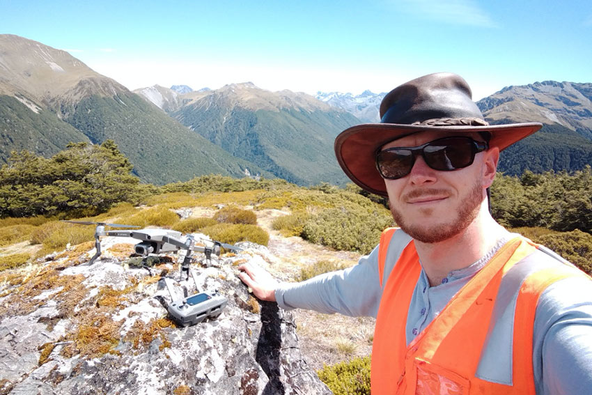
Graham Hinchliffe using a DJI Mavic 2 Pro UAV at Lewis Pass, South Island, for tree crown photo/video capture and dieback classification
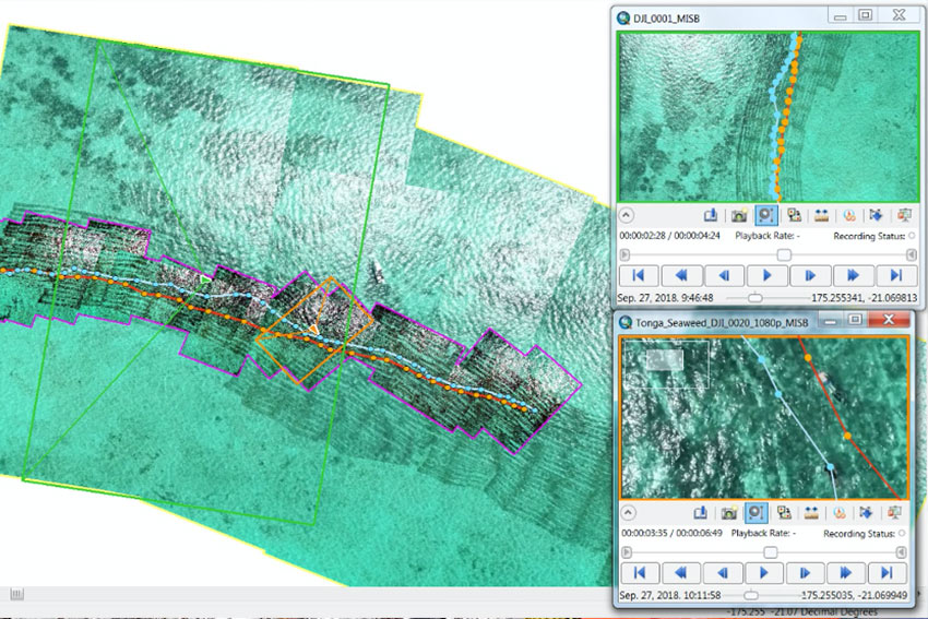
Georeferenced images and snorkeler transect lines in Tonga from spatially enabled UAV video, which allows for dynamic tracking and measurement in a marine environment
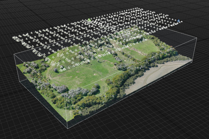
3D point cloud from UAV imagery for AUT Living Labs research site. Such data allows for detailed non-invasive site survey and metrics during reforestation attempts.
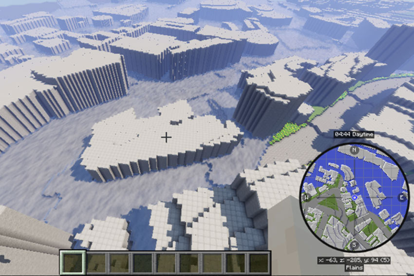
Gamification of spatial data: a disaster risk reduction scenario for tsunami impact on downtown Auckland is modelled on Minecraft.
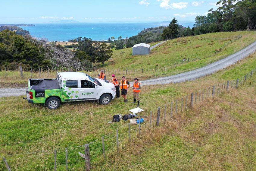
UAV flight involving a PhD student and technical staff for AUT Living Labs
Courses this topic is linked to
- GESC500 Mapping Our Environment
- GESC600 Geospatial Analysis
- GESC601 Geospatial Field Skills
- GESC700 Advanced Geospatial Analysis
- GESC800 Geospatial Data Visualisation and Analysis
- GESC801 From Remote Sensing Data to Geospatial Solutions
- GESC900 Advanced Problem Solving for Geospatial Scientists