Geoscience and sustainable development research
Giving people the tools to understand the Earth and learning how to manage its resources is central to sustaining a region’s ecology, geo-heritage, economic development and helping people thrive with their environment.
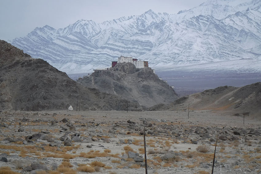
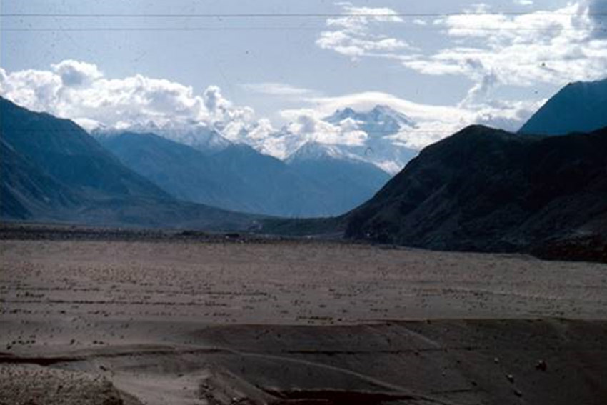
Geoscience research at AUT focuses on the grand tectonics of Earth and other planets, and investigates what controls the shape of our Earth’s surface, the rock and mineral constituents of Earth, landslides and other geohazards, and how geology can be used to understand environments.
AUT research incorporates a range of UAV, GIS and photogrammetric technologies, as well as field and laboratory studies.
Researchers involved
3D models
The research team has captured imagery for the creation of 3D models and related photogrammetry for classic geological localities in the greater Auckland and Coromandel region. These are used for student assessment, teaching and research projects.